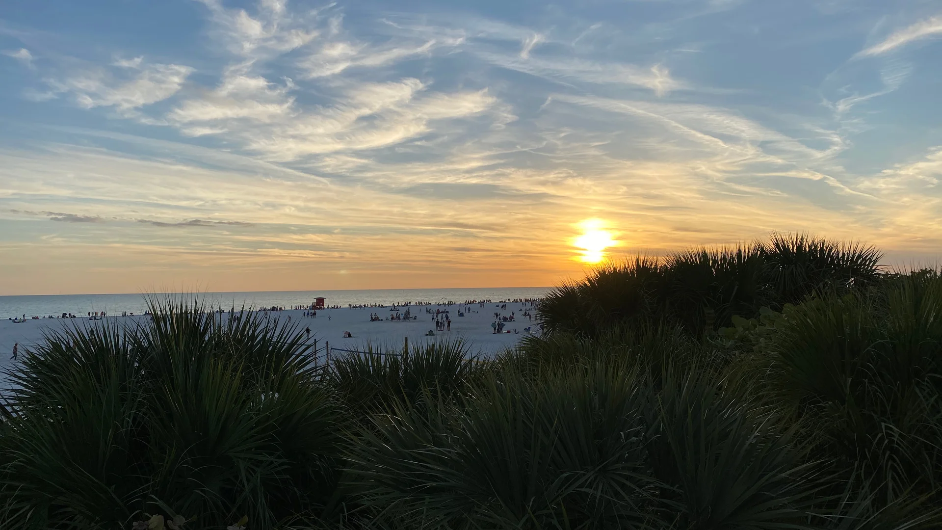
1. Longboat Key & Lido Key: Northern Sarasota Bay Islands
Reached from Downtown Sarasota via US-41 and the John Ringling Causeway, Lido Key and Longboat Key frame the western edge of Sarasota Bay. Lido Key splits its personality between the European-inspired shopping and dining rotunda of St. Armands Circle, the mid-island public pavilion at Lido Beach, and the 100-acre mangrove estuary at Ted Sperling Park on South Lido.
Just across New Pass Bridge, Longboat Key stretches 11 miles northward along Gulf of Mexico Drive (SR-789). While much of Longboat Key’s Gulf shoreline is lined with low-density resorts, tennis clubs, and private residences, Bayfront Park on the Sarasota Bay side provides public pickleball courts, a kayak launch, and waterfront walking paths.
2. Siesta Key & Casey Key: Mid-County Coastal Contrasts
South of Big Sarasota Pass, Siesta Key serves as the region’s primary recreational beach hub, anchored by Siesta Key Village in the north and Stickney Point / Crescent Beach in the south.
Immediately south of Midnight Pass and Blackburn Point lies Casey Key—one of the most uncommercialized barrier islands in Southwest Florida. Free of high-rise condominiums or chain stores, Casey Key is entered on the north via the historic 1926 one-lane Blackburn Point swing bridge in Osprey and on the south via Albee Road in Nokomis. Its southern end opens to two major public county parks: Nokomis Beach Park (home to Sarasota County’s oldest beach pavilion, designed by architect Jack West in 1954) and North Jetty Park along Venice Inlet.
3. Venice Island & Manasota Key: South County Fossil Coast
Unlike Sarasota’s northern barrier islands, Venice is a mainland island created when the U.S. Army Corps of Engineers excavated the Intracoastal Waterway canal in the 1960s. Designed by city planner John Nolen in 1926, West Venice Avenue runs straight through a historic Mediterranean Revival downtown directly to Venice Beach and the 700-foot Venice Fishing Pier.
Continuing south into Englewood, Manasota Key separates tranquil Lemon Bay from the Gulf of Mexico. Manasota Beach Park and Blind Pass Beach Park offer Gulf-to-bay trails, boat ramps, and uncrowded shelling shores.